
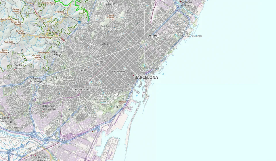
Use the Official Map to Assess Local Flood Risk
The Catalan Water Agency (ACA) has published a public cartographic viewer that allows residents to check whether their home, business, or land is in a flood-prone area. The tool, accessible online, shows floodability zones, riverine spaces, and preferential flow paths across Catalunya’s inland basins. Residents near rivers, streams, or watercourses are encouraged to use the viewer, especially when buying or renting property. It enables users to search by municipality or address and activate layers showing flood scenarios based on statistical models.
Understanding Flood Return Periods
The map includes flood hazard data for three key return periods: 10, 100, and 500 years. These do not mean floods occur at fixed intervals. Instead, they represent probabilities: a 10-year flood has a 10% annual chance of occurring, a 100-year flood has a 1% chance, and a 500-year flood a 0.2% chance. The ACA stresses these are planning tools, not guarantees. An area outside a designated zone is not necessarily safe, as localised flooding from heavy rain or drainage issues can still occur.
Preferential Flow Zones Highlight Severe Risks
The maps also identify preferential flow zones, where water depth and velocity combine to pose serious risks during floods. Under a 100-year flood scenario, these areas may see water deeper than one metre and flow faster than one metre per second. Such zones are critical for assessing potential damage to people and property, even in areas that appear low-risk on the surface.
Flood Risk Maps Are Updated Every Six Years
Under European flood risk management regulations, the ACA reviews hazard assessments every six years. The current cycle runs from 2022 to 2027. On 15th July 2026, the ACA approved the preliminary risk assessment for the next cycle, 2028–2033, which may update existing flood zones. However, full cartographic updates are not yet available. The current viewer reflects the most recent completed studies.
Check Responsibility for Your River Basin
The ACA manages inland basins, but inter-community rivers fall under state bodies like the Hydrographic Confederation of the Ebro or Júcar. The viewer allows integration of external data from the Ministry for the Ecological Transition and the Demographic Challenge to ensure comprehensive coverage.
Citizens are advised to consult local councils and the competent hydraulic authority for specific property assessments, particularly before construction.
The tool is not a legal certificate of safety. It is intended for public consultation and prevention. For definitive urban or hydraulic status, official channels should be contacted directly. Access the ACA’s official cartographic viewer to check your area’s flood risk.
Sources: CatalunyaPress, catalegs.ide.cat.