Storm Damage and Disruption Mount
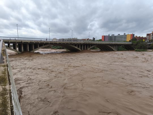
Barcelona is preparing for additional rainfall later today, following two powerful meso-scale convective systems (SMCs) that struck within days of each other, causing severe weather, flooding, and infrastructure damage. Over the past five days, some weather stations in the city have recorded more than 800 litres per square metre (l/m²) of rain, far exceeding the average total for the entire month of October.
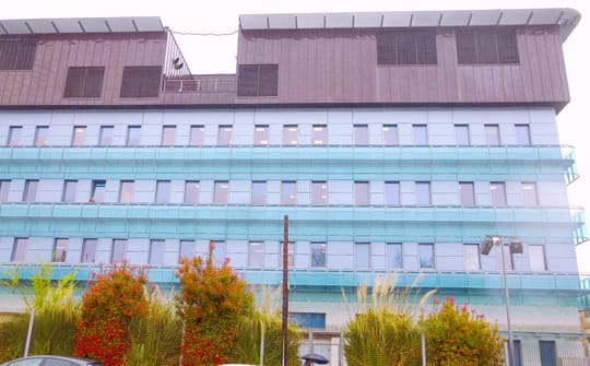
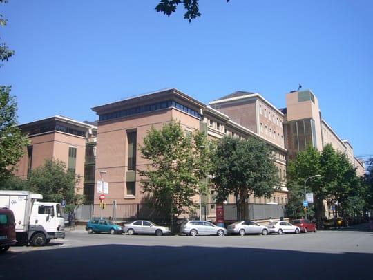
More than 10,000 homes lost power during the storms, and seven people were evacuated from the Font del Gos area in Horta-Guinardó due to safety concerns. At Vall d'Hebron Hospital and several primary care centres (CAPs), structural damage, leaks, and flood risks have been reported.
SMCs vs Mini-Hurricanes: What Hit Barcelona?
Meteorological terms such as "medicane", "mini-hurricane", and "meso-scale convective system" (SMC) have circulated widely. An SMC refers to an organised cluster of thunderstorms spanning tens or hundreds of kilometres, driven by instability from cold air aloft meeting warm, humid sea air. These produce prolonged, torrential rainfall.
The first storm exhibited a semi-circular structure with rotational movement sustained by Mediterranean humidity, but lacked a defined central eye. The second system, arriving yesterday, displayed features closer to a Mediterranean mini-hurricane, including observed marine tornadoes, though a clear warm-core eye remained absent.
We co-produce climate and air quality services, and facilitate the transfer of cutting-edge research knowledge and technology locally, nationally and internationally.Albert Soret Miravet, Earth System Services Group Leader, Barcelona Supercomputing Center
Rainfall Totals Shatter Norms
In parts of Barcelona, recent downpours have surpassed 200 l/m². Accumulations could reach up to 1,000 l/m² by year-end, though still below the historical record of 1,122.8 mm set in 1971.
- Two consecutive SMCs impacted the region.
- No official tropical cyclone classification was assigned.
- Some areas received double or triple the typical October rainfall in under a week.
Forecast: Rain Likely Through Wednesday
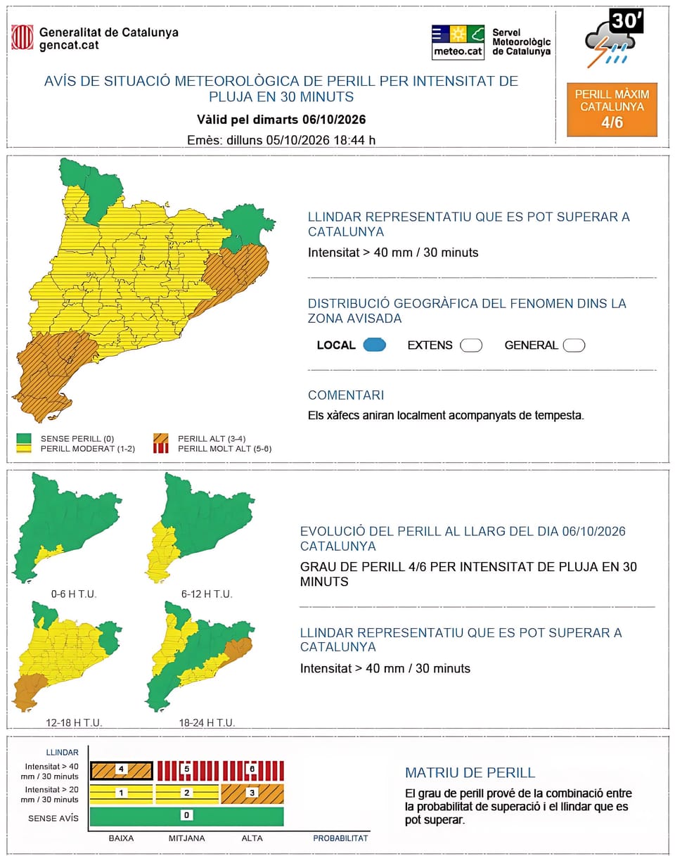
Atmospheric instability persists. New bands of precipitation are expected to form over the sea and move inland, potentially bringing another 100 l/m² or more to the metropolitan area. Models vary, but agree on a window from Tuesday afternoon through midday Wednesday.
Residents should anticipate locally intense showers. Emergency services remain on alert for flash flooding, especially in low-lying or previously affected zones.
Longer-Term Outlook Uncertain
Medium-range forecasts suggest conditions may stabilise by the end of the week. However, forecasters stress high uncertainty, urging the public to follow updates hourly rather than relying on extended projections.
Reported by metropoliabierta.elespanol.com, vhir.vallhebron.com, vallhebron.com, Metrópoli Abierta - Urban Life.