Metropolitan Digital Twin Reveals Climate Risk
A new analysis by the Greater Barcelona metropolitan digital twin has found that 62% of the population, nearly two in three residents, exhibits high vulnerability to heatwaves. The study, developed by Aretian, a Harvard-based urban planning startup led by Ramon Gras, assesses climate resilience at a near-parcel level across the five-million-person metropolitan area. The tool is now available to public administrations and researchers aiming to implement targeted solutions to extreme heat. Gras presented the findings on Monday 9th November 2026 at Quatrecasas law firm’s offices, stating that the data allows officials to evaluate which urban interventions are most effective, prioritise investments, and shape climate adaptation policies. The digital twin divides the region into 230,000 geographic hexagons to analyse climatic and urban conditions with high precision.
High-Risk Areas Identified
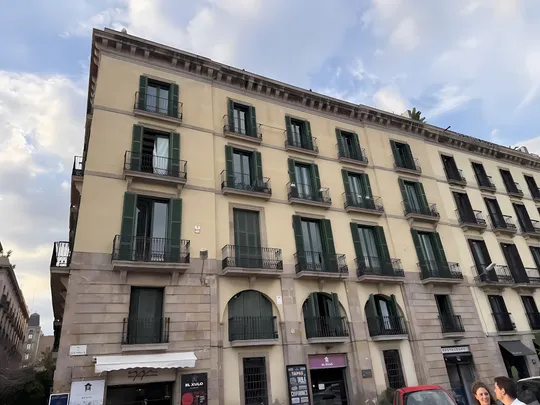
The highest concentrations of vulnerability are in densely populated municipalities: Barcelona, L'Hospitalet, Cornellà, Badalona, and Santa Coloma de Gramenet. In these areas, high temperatures, limited green space, ageing housing stock, and the presence of socially vulnerable populations combine to increase risk. Residents in these groups often face greater difficulty adapting their homes to extreme heat. The model also examined local regulations that could hinder climate adaptation. For example, in Barcelona’s Eixample district, current rules severely restrict the installation of reflective or green roofs, proven methods for reducing indoor building temperatures. The study calls for collaboration between public and private sectors to design site-specific solutions, including potential regulatory changes.
Potential Interventions and Costs
The analysis has identified around 50 potential intervention zones across the metropolis. Simulations were run for two key areas: Parc de les Glòries in Barcelona and Parc dels Ocellets on the border of L'Hospitalet’s La Florida and Collblanc, Europe’s most densely populated neighbourhood. In Glòries, a combination of urban measures could reduce air temperature by up to 4°C and surface temperature by over 13°C, with an estimated investment of €23.28 million. At Parc dels Ocellets, surface temperatures could drop by more than 10°C, but the required investment exceeds €60 million, too high for local authorities alone. The report suggests such projects would need private funding and support from supramunicipal bodies.
Based on these analyses, administrations can now evaluate which interventions can be most effective in reducing the population's exposure to climate risks, prioritise investments, and guide adaptation policies.
, Ramon Gras, urban planner and founder of Aretian
Broader Climate Resilience Insights
While heat vulnerability affects 62% of the population, flood risk is lower, impacting around 17%. However, Ramon Gras warned that floods could still cause significant economic damage and disrupt transport, energy, and telecommunications infrastructure. During a panel discussion moderated by Sergi Saborit, deputy director of EL PERIÓDICO, experts echoed the need for wider access to such tools. Esteban León of UN-Habitat and Mario Alguacil from Sant Feliu de Llobregat City Council called for the democratisation of digital twin technology to support evidence-based urban planning. Ramon Canal, director of services for the Barcelona City Council’s Office of Climate Change and Sustainability, said the tool helps objectively prioritise actions, though political and civic pressures often influence decisions. Lorenzo Chelleri, professor at UIC and president of the Urban Resilience Research Network, stressed the importance of assessing secondary impacts, such as gentrification, when adding green infrastructure to vulnerable neighbourhoods. The project is supported by the Puig Family Foundation, with collaboration from the Fundació Torras Lombana and Barcelona Global.
Sources: El Periódico, Ajuntament de Barcelona.