Storm Charles, a subtropical system with a warm core and significant moisture content, is expected to impact the Iberian Peninsula from Wednesday 11th November into Thursday 12th November 2026. The storm, named by Portugal’s IPMA due to its potential high impact, is currently located in the central Atlantic at a latitude similar to the Canary Islands.
Unlike typical mid-latitude storms which have a cold core, Charles has a warm core characteristic of tropical systems. It is accompanied by a major atmospheric river, a concentrated flow of moist air originating in the tropics, which could deliver exceptional levels of water vapour to the southwest of the peninsula and parts of Morocco. According to the Extreme Forecast Index (EFI), this could result in anomalous or even exceptional rainfall in those areas.
The most probable scenario indicates very heavy rainfall across central and southern Portugal and southwestern Spain, with some models suggesting more than 100 to 200 litres per square metre in affected zones. Mountainous regions exposed to southwesterly winds face the highest risk of flash flooding. AEMET, Spain’s State Meteorological Agency, has already issued weather warnings for Monday 9th and Tuesday 10th November in anticipation of deteriorating conditions.
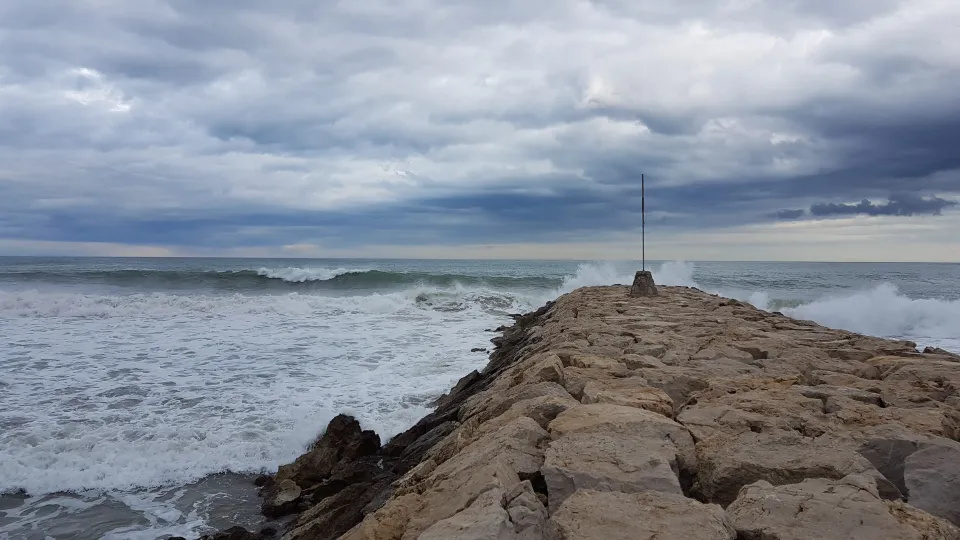
Wind and sea storms are also expected, particularly along the Portuguese Algarve and the Gulf of Cádiz. Some forecasts suggest wave heights could exceed 5 to 6 metres by Wednesday. The weather event will be brief but potentially intense, coinciding with a national general strike on Wednesday.
Barcelona and Catalonia to see rain and sea effects
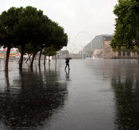
While the storm is expected to weaken as it moves northeast, Barcelona and Catalonia are still forecast to experience widespread rainfall, particularly from Wednesday night into Thursday morning. The rain is not expected to reach the same severity as in the southwest, but could be persistent and locally intense.
Southwesterly winds, known locally as garbí, may strengthen for several hours, potentially triggering a short-lived minor sea storm on Thursday. Due to the storm’s warm-core nature, no significant temperature drop is expected. Thermal conditions are forecast to return to normal from Friday onwards.
The naming of storms like Charles follows a coordinated system among European meteorological services to highlight systems likely to cause significant impacts on people and infrastructure.
Spain’s AEMET, along with meteorological agencies in France, Portugal, Belgium, Luxembourg and Andorra, participates in the Southwest European group under EUMETNET, naming only those low-pressure systems expected to have substantial effects. This system replaced earlier practices of naming all storms, focusing instead on those posing real risks.
Sources: betevé, Agencia Estatal de Meteorología, Aemet.