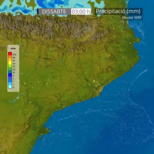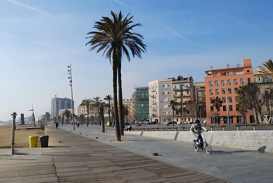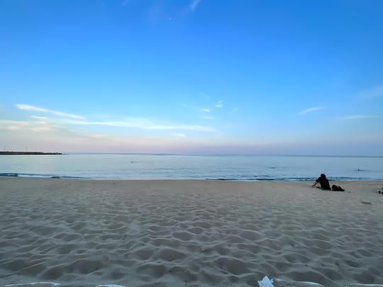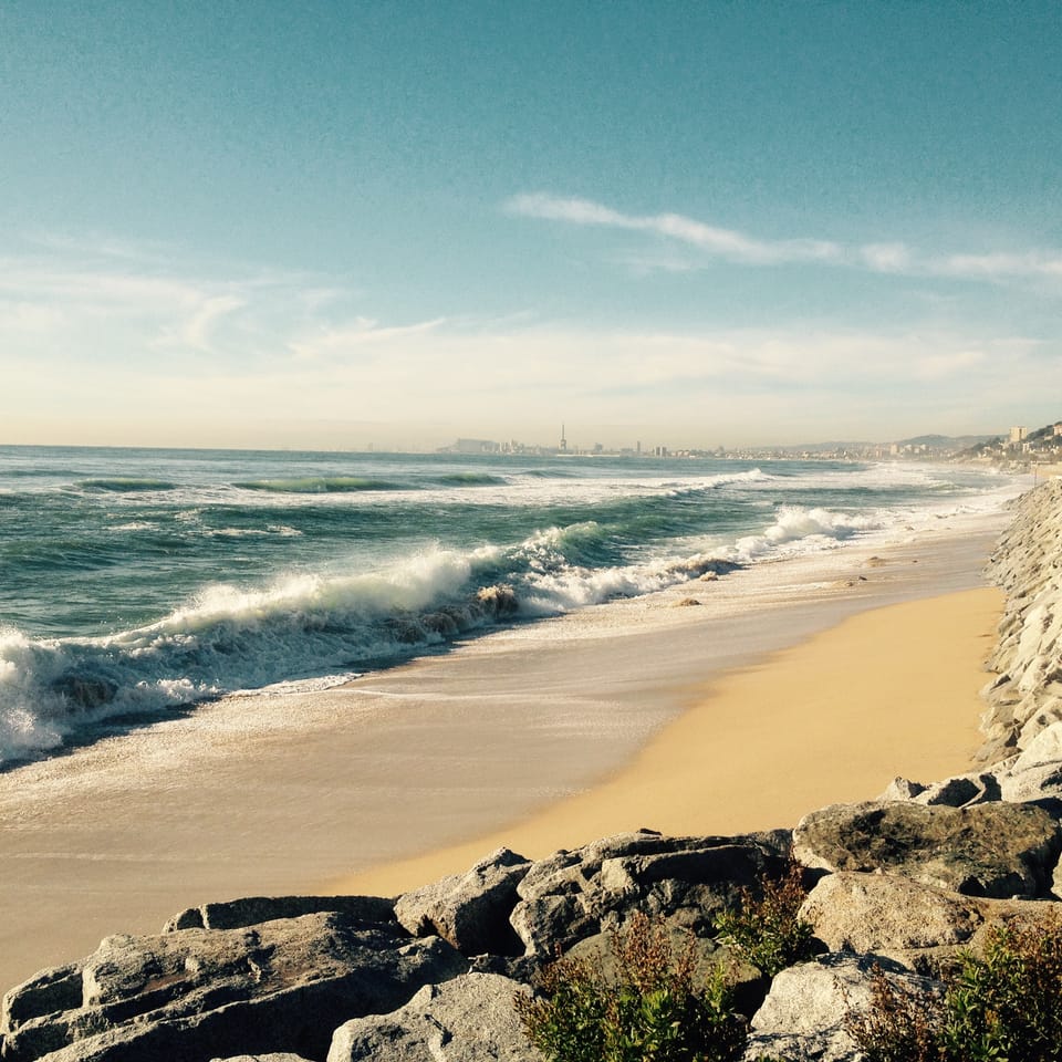
The northern Barcelona coastline faces a greater flood risk after recent storms damaged riverbanks, weakened containment structures and saturated the ground, according to an assessment published on Saturday 17 October. Residents in low-lying parts of the Maresme coast, as well as R1 commuters, could face particular disruption if intense rain coincides with rough seas.
Oriol Bassa, an environmental engineer and doctor of environmental studies, told La Vanguardia that a DANA, an isolated high-altitude depression that can bring exceptionally heavy rain in a short period, would now create more problems than the storm episode during the first weekend of October.
“If a DANA were to occur tomorrow, we would have more problems than we did the first weekend of October.”Oriol Bassa, environmental engineer
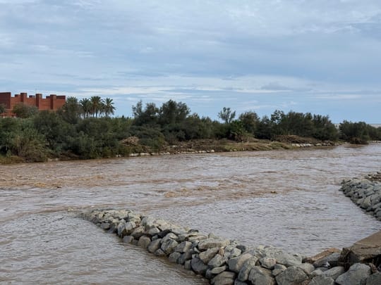
Bassa said saturated soil cannot absorb further intense rainfall quickly enough, forcing more water to run over the surface and into rivers and streams. Recent flooding has also exposed tree roots, damaged walls and breakwaters, and left logs and sediment that could block bridges and narrow crossings.
R1 railway and low-lying areas identified as exposed
The R1 commuter railway, which follows the coast through Maresme and crosses flood-affected areas, is among the most exposed pieces of infrastructure in Bassa’s assessment. Floodwater can erode the ground beneath the track, while debris and sediment can damage structures or block passage points.
“If we have a DANA and a marine storm, the R1 is in serious trouble.”Oriol Bassa, environmental engineer
The most severe scenario would combine heavy inland rainfall with a maritime storm. Waves can impede rivers from reaching the sea, causing water to build up in lower-lying areas while river flows are already high.
Storm Gloria, in January 2020, showed the potential force of this combination on the Catalan coast. Waves between 12 and 17 metres were recorded at available measuring points during that storm, Bassa said.
His studies estimate that 60% of the surface area in places such as Vilassar is exposed to flooding. Nearly 80% of the local population, about 17,000 people, lives in those areas, according to the figures cited in the assessment.
- In the Argentona river basin, an extreme scenario comparable to Gloria could produce a flow of 409 cubic metres per second in the Mataró area.
- Estimated damage to adjacent land is about €92 million.
- The estimate rises to €243 million when impacts including possible damage to the R1 are included.
- A large commercial area identified as vulnerable lies about 1.5 metres below the river level.
The 409-cubic-metre figure is a risk scenario rather than a forecast of an imminent flood. The assessment also identifies industrial estates, sports facilities, shopping areas, waste-treatment plants and water-purification facilities as potentially affected locations.
River plan sets out €685.4m programme to 2050
Sea-level rise adds pressure to infrastructure built close to the water. Bassa cited climate expert Javier Martín Vide’s reference calculations of around four millimetres of sea-level rise a year in some locations, while noting that the change is not uniform along the coast.
The Maresme River Master Plan, approved in February 2026, examines 65 rivers and proposes €685.4 million of investment through to 2050. It identifies 104,000 people exposed to flood risk and estimates that potential damage could exceed €3.4 billion.
Measures set out in the plan include retention basins, which hold water temporarily to reduce peak flows, and sustainable urban drainage systems using permeable paving and green spaces. Bassa also supports separating rainwater from sewage, widening riverbeds where needed and restoring space for watercourses.
Residents urged to prepare before an alert
Bassa said councils should update emergency plans, identify critical locations and prepare evacuation arrangements. He also called for flood risk to be considered in planning decisions, including avoiding sensitive residential uses on ground floors in flood-prone areas.
For residents in exposed streets, the practical preparation he described includes protecting property access points, agreeing an evacuation route and considering flood barriers such as the removable planks used in several Maresme municipalities. People should not assume a location is safe because it avoided flooding in previous storms, he said.
“If you receive an ES-Alert, they are not joking.”Oriol Bassa, environmental engineer
ES-Alert is Spain’s mobile-phone civil-protection warning system. Recipients should follow the instructions sent in the alert, while municipalities review evacuation routes and other emergency measures for vulnerable areas.
Reported by lavanguardia.com, La Vanguardia Barcelona.