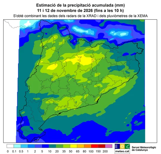
Meteocat, Catalonia’s weather service, has identified two atmospheric signals that it says point to the first effects of a strong El Niño episode reaching the region. For residents, the assessment helps explain recent stormy weather, but it does not establish when or where further rain or cold might occur.
At a media briefing reported on Friday 13th November, Toni Barrera, a climate change technician at Meteocat, said the phenomenon was already having an effect. The service has pointed to an atmospheric river that reached the Iberian Peninsula this week and to a weakening of the polar vortex.
“It is very strong and is already affecting us,” Barrera said.
Residents making weather-sensitive plans can check Meteocat’s local forecasts and warnings. Its assessment of El Niño describes possible influences on weather patterns, rather than a forecast of conditions at a particular address.
How the atmospheric river reached the peninsula
An atmospheric river is a long stream of water vapour that carries large amounts of moisture from tropical or subtropical areas towards higher latitudes. When that humid air rises, it can contribute to heavy rainfall.
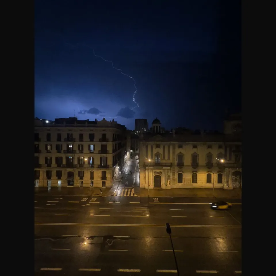
The stream that reached the Iberian Peninsula this week came from the Caribbean area, according to reporting by ARA on Meteocat’s assessment. Storm Charles has brought rain, wind gusts and rough seas to Catalonia.
Barrera said the atmospheric river was very likely to be a consequence of a strengthened subtropical jet stream, which he said was probably reinforced by super El Niño. That distinction matters: the service is identifying a likely chain of atmospheric effects, rather than saying that every spell of rain has the same cause.
The subtropical jet is a current of westerly winds high in the atmosphere, at an altitude of about 10–16 kilometres and around latitudes 25–35 degrees. It plays a part in atmospheric circulation in subtropical and temperate regions, including the latitudes where Catalonia lies.
El Niño can strengthen this current and shift it southwards, favouring the movement of atmospheric rivers towards the North Atlantic. These connections between distant regions are known as atmospheric teleconnections.
A second signal in the polar vortex
Meteocat’s second signal is the weakening of the polar vortex, a large-scale circulation of winds around the polar regions, and the possibility that it could break down. The service’s assessment does not make a cold spell in Catalonia certain.
El Niño takes place in the Pacific and can alter climate patterns around the world. Its effects are less regular in regions outside the ocean’s direct influence, as changes in circulation travel across long distances through the atmosphere.
The current episode began this year and has reached the “very strong” category, according to ARA’s report. Meteocat’s two signals concern possible effects in Europe, including the atmospheric river that reached the peninsula this week.
Sources: El Nacional, Ara.