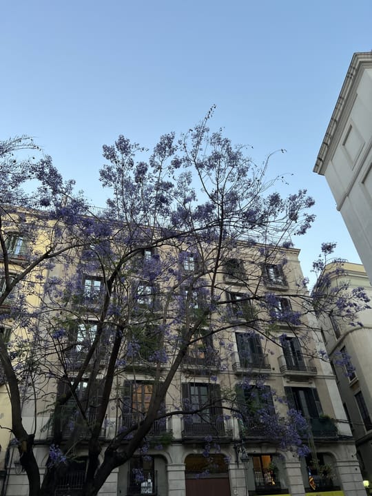
Homes built beside woodland can face greater exposure to wildfires, with Spain among the European countries where large fires have occurred more frequently near wildland-urban interface areas, according to a continental mapping study.
For residents of Barcelona's wooded outskirts and other settlements bordering vegetation, the practical consequence is that proximity to wildland is a recognised fire-risk factor. The research does not provide property-level assessments or local emergency instructions, so residents should use the fire-safety information issued by their relevant local authority and emergency services.
What the research maps
The wildland-urban interface, often shortened to WUI, describes places where built-up areas meet or lie close to wildland. A 2016 study in the Journal of Environmental Management set out a method for mapping the extent and spatial patterns of these areas across Europe.
The European analysis used satellite land-cover maps and records of large fires to examine where wildland lay close enough to urban areas to create a threat to people. Its findings, summarised by ScienceDaily, identified Albania, Bulgaria, Cyprus, France, Italy and Spain as countries where large fires occurred more frequently near WUI areas.
- The study covered the European Union as well as Switzerland, Norway, Iceland, Montenegro, North Macedonia, Turkey, Bosnia and Herzegovina, and Kosovo.
- It found that distance from WUI areas helped explain the occurrence of large fires in many parts of southern Europe.
- Spain was included among the countries with a higher likelihood of wildfire damage near these interfaces.
Global interface area rose by more than a third
A 2024 global analysis published in Science Advances found that the WUI expanded by 35.6% between 2000 and 2020, reaching 1.93 million square kilometres in 2020.
That global figure does not measure Barcelona or Catalonia separately. It does, however, show that the land-use pattern associated with wildfire exposure has grown substantially over two decades.
The European mapping research points to land-management practices as a means of reducing the risk of costly and dangerous wildfires in populated interface areas. It does not specify which measures individual householders should take or provide a local timetable for action.
Primary sources: pmc.ncbi.nlm.nih.gov, Fermín J. Alcasena, Cody Evers, and Cristina Vega-Garcia. Reported by sciencedirect.com, sciencedaily.com, science.org, Iker Vega, Rafael Méndez, LuisMario, Público, Raúl Rejón, eurekalert.org, eldiario.es.