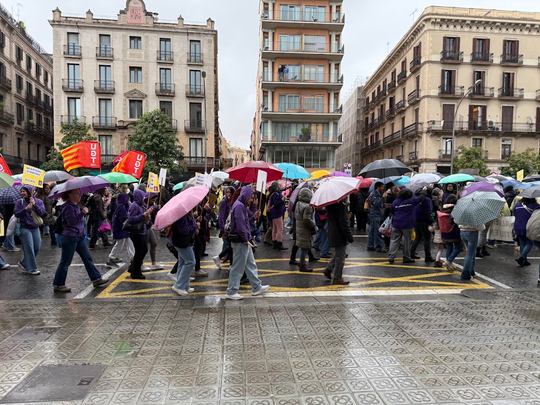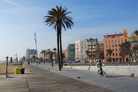
People crossing Barcelona on foot during hot weather can now use digital maps that highlight cooler routes and nearby climate shelters, a practical tool for residents, commuters and visitors trying to avoid the worst of the heat. The service responds to a growing public health concern in the city, where the climate shelter network reached 368 locations last summer and July 2024 was recorded as Barcelona's hottest month in 110 years, according to reporting cited by Reasons to be Cheerful.
The map-based approach builds on Barcelona's wider climate planning. According to the Climate Vulnerability Map of Barcelona, the city combines open data and artificial intelligence to identify climate shelters, shaded areas, energy use and neighbourhood vulnerability. That system is designed to help public bodies protect residents in the parts of the city most exposed to extreme heat.
What the route map is designed to do
The route tool highlighted in recent coverage is intended to help pedestrians choose a more tolerable way across the city when temperatures rise, rather than simply the shortest route. For people walking to work, school, stations or appointments, that means being able to favour shaded streets and check whether a climate shelter is available nearby.
Barcelona's climate shelters are part of an existing public network that includes civic centres, libraries, museums, parks and gardens. Reasons to be Cheerful reported that the network started with 70 sites in 2020 and expanded to 368 by last summer.
- Climate shelters are free to use.
- They must be accessible for people with disabilities.
- They must offer seating and free drinking water.
- Indoor shelters must keep a maximum temperature of 26C.
Those minimum conditions, reported by Reasons to be Cheerful, are meant to make the sites usable as formal refuges rather than just public buildings that happen to be open.
"It's important because sometimes people don't feel like they can go there just to be comfortable. They feel they have to find an excuse, and it's not necessary."
That explanation was given by Mar Campanero i Sala, from Barcelona City Council's Office for Climate Change and Sustainability, in comments reported by Reasons to be Cheerful.
Why this matters during hot weather
Barcelona has been dealing with increasingly severe heat. Reasons to be Cheerful reported that temperatures in the city reached 40C last summer, while July 2024 was the hottest month since local records began 110 years ago. The same report noted that cities can be up to 15C hotter than surrounding rural areas because of the urban heat island effect.
That is why route planning matters locally. A walking journey through exposed asphalt and concrete can feel very different from one that passes under tree cover or near a library, museum or civic facility that is part of the shelter network.
The climate mapping work described by Climate Ready Barcelona also supports Barcelona's Energy Advice Points, known by the Catalan initials PAE, and is intended to help institutions target support where climate risks are highest. Its published recommendations include expanding the climate shelter network and improving coordination between weather services, public health bodies and local government.
People who need a place to cool down can check the city's climate shelter locations through the public maps cited in recent reporting, including the shelter network covered by betevé and other local outlets.
Reported by Ricard Gràcia, beteve.cat, Marc Vallverdú, Kaja Šeruga, Audrey Nakagawa, Yael Carrasco, Barcelona Secreta.